First Carbon Offsetting Project for 90,000 Hectares Registered

First Carbon Offsetting Project for 90,000 Hectares Registered

First Carbon Offsetting Project for 90,000 Hectares Registered

By Jodi Legge and Eleanor Momberg

The Endangered Wildlife Trust and the International Crane Foundation have registered carbon offsetting project in the Drakensberg – one of only six registered carbon offsetting projects in the world using Voluntary Carbon Market Methodology and covering the widest geographical footprint in a country.

This is part of the EWT/ICF partnership’s long-term commitment to protect threatened crane habitat in the Drakensberg region. The project extends 90,000 ha, of which 88,500 ha is managed by the EWT/ICF partnership as the Carbon Management Entity with the developer, WeAct, from Australia. Further expansion is planned during the second half of 2024 and will be known as the second instance.

“Landowners are interested in joining at least another 45,000 ha for the second instance,” said Pieter Botha, ICF project manager.

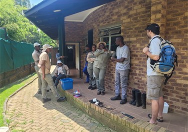
Botha added that the partnership covered several critical areas under biodiversity stewardship agreements with crucial landowners. Information opportunities were created to discuss the project, objectives, and outcomes with our partner landowners.

The primary purpose of carbon trading is to channel finances towards a sustainable transition in limiting greenhouse gas (GHG) emissions and GHG sequestration. The cost associated with the removal of GHG needs to be recovered because the removal cost is potentially much lower than the cost of dealing with the consequences of global warming. Through the voluntary carbon market initiatives linked to the free-market principle are allowed as these achieve an incentive by pursuing the initiatives set out in the Paris Agreement reached at the UN Framework Convention on Climate Change’s talks in 2015.

Carbon offsetting is considered a sustainable financing option by providing investments that reduce or remove emissions, improve livelihoods and protect the environment. Carbon credits are sold on the market with revenue returned to landowners. Landowners are rewarded financially as they implement sustainable and improved land management practices that contribute to a healthier ecosystem, are friendly to cranes, and promote greater biodiversity.

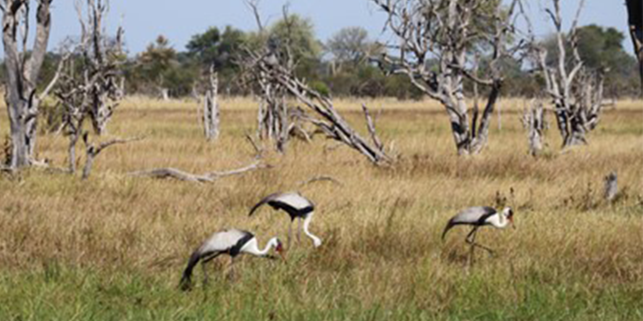
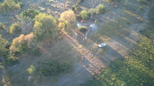
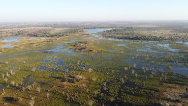
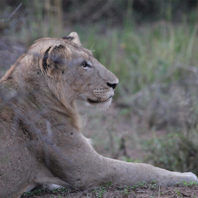
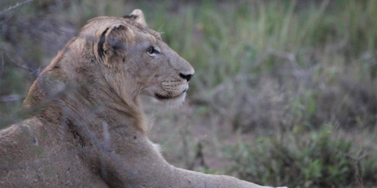
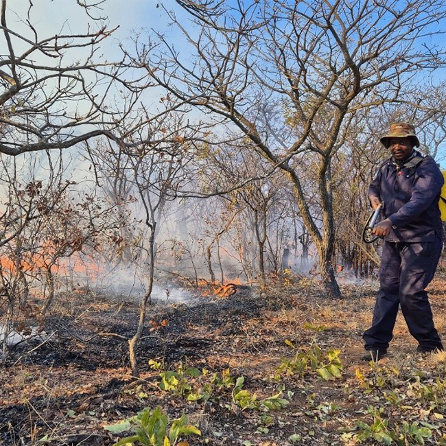
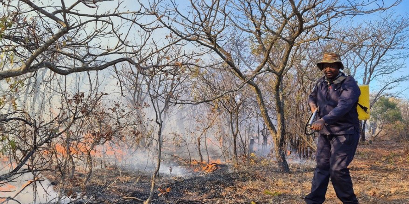
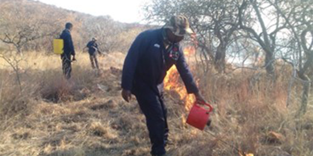
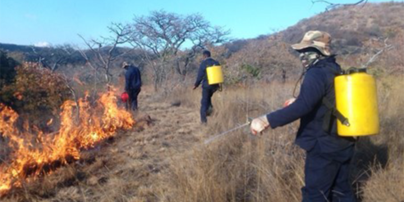
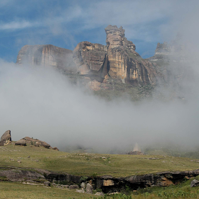
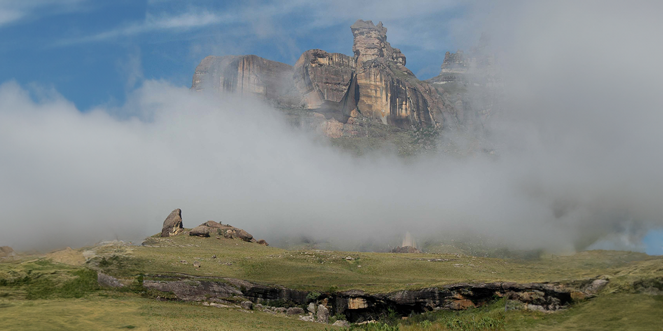
The Drakensberg region is home to three species of threatened cranes – the Wattled, Blue and Grey-Crowned Cranes. It is a region that has been at risk from mining, infrastructure development, invasive species, uncontrolled fire and agricultural expansion. These factors have reduced habitat for cranes and other species, and pose significant challenges to landowners, threatening the livelihoods of thousands of people who live and work in this region.

“We know these are complex problems,” said Botha adding these required innovative solutions. “Exploration of the carbon trading market has been one of our key strategies to reduce greenhouse gas emissions through carbon sequestration, to improve the state of these fragile habitats.”

Botha said the cost associated with the removal of greenhouse gas emissions to improve the soil needs to be recovered as landowners cannot do it on their own. Removing CO2 from the atmosphere is a cheaper alternative than dealing with the consequences of global warming.

“Carbon trading is not frequently discussed among farmers as it is not part of their daily production cycle on the farm.,” said Botha. “For many landowners, this was a foreign idea, and careful negotiation and education is required to explain the complexities of the project. It takes a long time to engage with landowners, explain the benefits of participating in the project, and getting them to commit to an agreement.”

Farmers are custodians of large tracts of land, which is also home to many diverse species. The Foundation understands that farming has many challenges and no state assistance or subsidies are available in South Africa. This project aims to assist farmers by offsetting costs that come with conservation, creating an enabling environment for proactive conservation.

The project implemented a four-year cycle of carbon credit verification and issuance, with a goal to ensure a 30-year commitment to the project. Anticipated revenue is substantive.

“We believe this approach will mitigate the effects of global warming while creating resilient habitats for our crane population,” said Botha. “This pioneering approach will result in increased carbon in the soil, while providing relief to our resilient farmers to protect their livelihoods and create conservationists at the same time.”

The unfinished journey:  capturing Wattled Cranes for conservation

The unfinished journey: capturing Wattled Cranes for conservation


The unfinished journey: capturing Wattled Cranes for conservation

By Dr. Lara Fuller, Drakensberg Project Coordinator, South Africa for the African Crane Conservation Programme

Wattled Cranes close to the camp site

Wattled Cranes are globally Vulnerable. They move with the available waters in large floodplains across south-central Africa through several countries including Botswana, Zambia, Angola, Zimbabwe, Tanzania and Malawi. It is this movement that is vital for conservationists to understand so that conservation goals can be impactful.

Wattled Cranes are notoriously difficult to catch as they have excellent vision and they are not easily coerced into an area, which most capture techniques rely on.

Charles Mpofu of Botswana Wild Bird Trust (WBT)/Okavango Wilderness Project recently approached the EWT for assistance in capturing and handling cranes. Given the synergies between our work, we accepted and I travelled to Botswana to start work on a project that will take some time to complete.

Our first step on the journey was to test the transmitter and harness design by trialling them on captive Wattled Cranes. Out of this work some modifications were made to the transmitter by its developer SpoorTrack to design the dimension specifically for the species. The second step was to understand the best technique to capture Wattled cranes in the Okavango Delta. As the environment is a wilderness with multiple natural dangers, we spoke to the only people who had attempted to catch the species in the Delta — Pete Hancock and Ralph Bousefield in Maun, and Kevin Mcann who had joined the team based in South Africa.

After much discussion the main technique advised was light trapping at a roost site. This approach allows for opportunistic capture in a dynamic and changing environment and allows a capture team to avoid predatory dangers. We had not previously used this technique and learning a new procedure in the wilderness was never going to be easy.

The third step was to find the birds in the vast flood plains of the delta. Charles narrowed this down with aerial surveys to identify a flock in accessible reach, and he spoke to lodge owners and field guides in that area.

On 13 May we started a two-week expedition on the Gomoti River, amply equipped with two Mokoros (a traditional canoe for traveling on the shallow flood plains), two Landcruisers, solar charging battery and remote camping equipment. The first two days were spent ground surveying for Wattled Cranes and learning from a local NPO ‘Connect Trust’ where the accessible roads and river crossings were. Travelling from base camp to the capture site took three to four hours a day due to the difficulty of sandy roads. Understanding where the cranes roosted was vital, and because we were losing important hours on the road, we moved to a new camp in the bush from where we could easily monitor the cranes dawn to dusk. Despite the campsite move the Wattled Cranes were incredibly elusive in sharing details of their roost sites. Flying in and out of foraging grounds in the dark, a mechanism to protect them from predators.

After a few days of 6am mornings and 9pm evenings we had identified a daylight foraging space to which the birds returned to every day. This site had recently been burned and would mark our capture attempts for the remaining expedition. Establishing safe passage across the river for night capture we set up a system using the mokoros so that we could reach the grounds safely. At this site we made numerous attempts to capture the cranes using bird hides, toe noose matts, and using the flashlight technique. Although we came within a few meters of the cranes, numerous difficulties were encountered. Lechwe hampered our attempts to capture during daylight hours by threatening to beat the cranes into the traps.

Wattled Cranes close to the camp site

During the night hours hippos were out foraging, and lions could be heard hunting. Not an ideal scenario when you’re travelling on foot. Other aspects obstructing capture was the unhelpful moon cycle, and although there were numerous breeding elephant herds they were very regimented in their movements and were easily avoided.

With a lot of experience and lessons learned we attempted our second expedition on the Boro River from 7 July 2024 for 10 days. This time we armed ourselves with some camouflaged toe noose traps, some very bright flashlights and a FLIR. One of the most difficult aspects we found during the night captures was that we could only see as far as a flashlight. This is a little discouraging when running into the night after a crane. The FLIR proved to be a valued member of the team and was excellently designed for its purpose.

The second expedition was supported by the prestigious game lodge Xigera in the heart of the Okavango permanent wetland. As we explored the reserve we were delighted to find over 20 pairs of Wattled Cranes, enabling a number of capture attempts on the same night at different sites. We were hopeful. However, although we were spending up to 19 hours in the field, observing where the pairs moved to during the day and attempting captures at night, we found that there were only four pairs that had steady territories. This was because these birds were starting to breed. Despite this the expedition attempted eight night captures. We came as close as four meters to one crane before the mud tied up Charles and the Landcruiser. We even came within couple of meters of capturing with toe noose matts, until the Buffalo and Impala decided to race the cranes to the traps.

It was T.S. Elliot who said: “It is the journey not the arrival that matters”.

As we reflect on these expeditions and consider the way forward, Charles will be joining us in South Africa along with colleagues in the African Crane Conservation Programme (ACCP) from Uganda, Kenya and Zambia, an American colleague from the International Crane Foundation and a number of South African colleagues from ACCP and Wildlife Energy Programme, to attempt to capture Grey Crowned and Blue Cranes in Mpumalanga. This will form a part of a workshop where we will share our knowledge and experience in Crane and other bird captures to create more innovative approaches to captures in especially the difficult flood plains of the south-central Africa. These will include questionnaires that will draw out the why, when, where and how Crane captures are performed across the globe. This will be compiled under the auspicious IUCN Crane Specialist Group to develop best practice guidelines for captures. In addition, we have through this process bridged a gap between generations of experienced crane catches enabling us to build on the knowledge of the past and not reinventing old new techniques. Conservation relies on collaboration and working together, and these attempts are creating a stronger team of skilled conservationist across Africa for the benefit of crane species. What better example could we have of conservation in action!


Chales Mpofu of the Wild Bird Trust Okavango Wilderness Project using a drone to survey the vast area of the Delta.

Johannesburg City Park and Zoo team with Charles Mpofu of the Botswana Wild Bird Trust and Matt Pretorious EWT who assisted with training on applying a harness.

The remote campsite adjacent to the capture site.

Capture site where 10 Wattled Cranes were inhabiting

How to count lions in Africa

How to count lions in Africa

Science Snippet:

How to count lions in Africa

By Lizanne Roxburgh and Erin Adams

Knowing how many individuals of a species exist in the wild is important for managing that species. It is also important to know the trend in the number of individuals in a population. Whether the number is increasing, stable or declining will have implications for what management interventions should be used to conserve that population. There are currently many methods that can be used to estimate population size, however, each have their own strengths and weaknesses.

In a recent study*, scientists from the EWT, in collaboration with researchers from other institutions, reviewed all of the methods that are used to survey lion populations across Africa. They looked at 93 different studies from 1991 to 2022. Seven broad survey methods were identified. These included spoor counts, call-ups, genetic surveys, direct observations, camera trap studies, spatially-explicit capture-recapture (SECR) for both direct observations as well as camera traps, and distance-based sampling.

Pic: Eleanor Momberg

The scientists found that the most reliable methods for estimating lion population in Africa were those that included spatially-explicit capture-recapture (SECR) analysis. SECR is a method used to model animal capture-recapture data collected with a network of “detectors.” SECR takes into account both where the individual lions were captured by the detectors (such as camera traps or through direct observations) and where they were not captured. It’s like solving a puzzle where you piece together information about where animals were detected to estimate their overall population density. Sampling techniques such as spoor counts and call-ups were found to be less reliable, as they tended to over-estimate population size.

The scientists strongly recommended that standardized methods be developed that can produce comparable estimates of the number of lions, both within and between sites and years. These methods can then be used to survey lion populations in areas where gaps in our knowledge of lion populations exist.

*Samantha K. Nicholson, David R. Mills, Erin C. Adams, David G. Marneweck, Hans Bauer, Lizanne Roxburgh, Rob Slotow. 2024. Towards effective and harmonized lion survey methodologies: A systematic review of practice across Africa. Global Ecology and Conservation.  https://doi.org/10.1016/j.gecco.2024.e02908

Fired up for conservation

Fired up for conservation


News from the field:

Fired up for conservation

By Darren Pietersen, Ecology Manager, Soutpansberg Protected Area

Globally, “wildfires” are seen as terrifying, destructive, unnatural, and something to be stopped at all costs. This sentiment is understandable when the effects of runaway fires are seen – for instance the large-scale fires in Australia, and those in the Northern Cape province in the past few years that resulted in thousands of hectares of grazing being lost, countless livestock burning to death, and infrastructure being lost.

But fire is, in fact, an integral part of the ecosystem. Savannahs and grasslands rely on fire (and herbivory) for their maintenance by preventing bush encroachment, and many plant species, including many fynbos species, rely on fire to germinate their seeds. In his study comparing historical and contemporary photographs of the Soutpansberg, Dr Norbert Hahn established that the Soutpansberg overall has become much denser in the past 150 years, with the loss of most of the Soutpansberg grasslands (and their associated species) through the removal of large grazers and fire from the ecosystem. We cannot reintroduce bulk grazers to the majority of the Soutpansberg (yet), but we can ‘reintroduce’ fire.

The EWT Medike Reserve is in the process of reintroducing fire as a management tool on the Soutpansberg range. Like many properties on the Soutpansberg area, most of Medike Reserve has not burnt in a very long time – in the region of three decades, whereas historically the Soutpansberg would have probably burnt every five to ten years.

This absence of fire has resulted in the build-up of a vast quantity of moribund material such as dead grass and other plant debris, resulting in unnaturally high fuel loads and poor grazing for animals. This build-up of dead plant material can result in intense, difficult to manage wildfires – as we experienced last year when a lightning strike resulted in a fire that burnt for two weeks on farms neighbouring Medike.

In an effort to start restoring natural ecosystem functions, Medike is implementing management burns – purposefully burning a section of veld under appropriate ecological conditions, but also under conditions where the fire can be safely managed. Rangeland burns can legally only be set between September and November in Limpopo province (and only with the necessary permits), whereas all firebreaks need to legally be burnt before the end of June.


In preparation for a large (~600 ha) management burn planned for September this year, the Medike team burnt a 12 km long firebreak (with an average width of 20 m) around the block earmarked to be burnt. Firebreaks are not only a legal requirement, but will also allow us to burn the main block much more safely, posing a lower risk to the remainder of the reserve and neighbouring properties.

The management burn intends to provide improved grazing, converting the current moribund grass – which is probably about as nutritious as cardboard – into fresh, nutritious grass. In addition, the burn is also intended to open up the vegetation in general, returning its structure to a more natural, more open habitat by the remedying of bush encroachment. This will also provide additional habitat for grazers and a myriad of other species that require more open habitats. The intention is to burn the entire Medike Reserve in sections over the next four to five years, mimicking the natural fire cycle.

The SPA team burning firebreaks on Medike to safeguard vulnerable infrastructure against potential unplanned fires, and to prepare for a large management burn planned for later this year. The team did exceptionally well under often very difficult circumstances, and are now all accomplished firefighters.

  • We are grateful to Jonsson for sponsoring the fire-resistant overalls, which were tested to their max.
A speck of hope in a fragmented landscape: the story of the Widenham Wetland Protected Environment

A speck of hope in a fragmented landscape: the story of the Widenham Wetland Protected Environment


A speck of hope in a fragmented landscape: the story of the Widenham Wetland Protected Environment

By Joshua Weeber, Threatened Amphibian Programme

Critically Endangered Pickersgill’s Reed Frog


The Windenham Wetland Protected Environment on the KwaZulu-Natal south coast has formally been declared.

The story of this Protected Environment began almost a decade ago. In 2015 the Endangered Wildlife Trust (EWT) initiated monitoring programmes for selected, critical wetland habitats supporting the Endangered frog Hyperolius pickersgilli (Pickersgill’s Reed Frog) in the eThekwini Municipality. One of the selected wetlands was the ‘Widenham Wetland’ located in the suburb of Widenham, immediately south of the town of Umkomaas, approximately 45km south of Durban and within the eThekwini Municipality. The area is home to over 27,400 people with over 7,800 households of which 8.8% are informal dwellings. The site comprises of eight different erven and was acquired by the municipality in 2010 after a proposed residential development on the site was stopped because of the discovery of the then Critically Endangered Pickersgill’s Reed Frog.

Widenham is a small (~1.6ha) channelled valley bottom wetland that comprises a mix of alien thicket / woodland and herbaceous marshland. It is located within the lower reaches of a small coastal stream system with relatively broad valley-bottom and a gentle longitudinal slope gradient and formed immediately upstream of the frontal dune system characteristic of coastal KZN.

Currently, much of the area within and around the Protected Environment has been transformed, and biennial wetland health assessments since 2015 show that the Present Ecological State (PES) of the wetland is classified as a D, which is Largely Modified. In short, Widenham Wetland represented a small, impacted system surrounded by urban infrastructure that was not a particularly intact state, but one that still provided habitat for a key endangered focal species for the EWT in the province.

In 2019 the EWT initiated actions to protect the Widenham wetland and drive long-term management and rehabilitation interventions that would safeguard this little natural space and the species within it for generations to come. A logical approach to achieve this goal was through Biodiversity Stewardship – an approach to securing land in biodiversity priority areas through entering into agreements with landowners with the intention of securing the biodiversity of South Africa. Fortunately, the wetland was purchased by the municipality, who were key partners in the project. A site assessment indicated that the area qualified for the Protected Environment category provided rehabilitation actions were developed and guided by a detailed Protected Area Management Plan. Working with key stakeholders such as eThekwini Municipality and Verdant Environmental, a detailed rehabilitation and management plan was developed.

Critically Endangered Pickersgill’s Reed Frog

After many months of waiting, and assistance from our partners, Conservation Outcomes, the Widenham Wetland was finally gazetted as a Protected Environment on the 27th June 2024. The timing of this achievement has been crucial – the EWT’s Threatened Amphibian Programme launched an exciting new project in early 2024 aimed at enhancing the ecological integrity of key wetland sites to improve local biodiversity and provide ecological goods and services to nearby communities. One of our priority sites linked to this project is Widenham Wetland, and efforts are already under way to improve the ecological functioning of this site through targeted alien vegetation clearing.

Working with the local municipality we are also in the process of implementing an extensive rehabilitation plan which will include redesigning a section of the wetland and revegetating impacted areas. All of these actions will be monitoring through wetland health assessments as well as passive acoustic monitoring of the isolated subpopulation of Pickersgill’s Reed Frog that rely on this wetland. We hope our actions will safeguard this little speck of hope into the future.

This work has been in process for many years and would not have been possible without the efforts of Jeanne Tarrant and Cherise Acker, among many others. Similarly, our generous funders have been integral to this conservation success story. We thank Rainforest Trust, Synchronicity Earth, and Anglo American for their support.