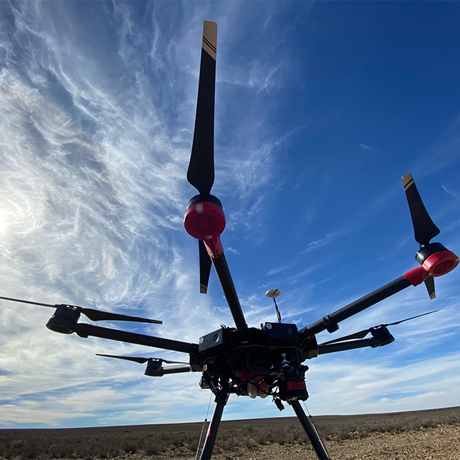
GPS Tracking
Drones may be the latest innovation in wildlife monitoring, but before their advent, GPS tracking technology had already established itself as a valuable tool for studying the movement, behaviour, and habitats of wild animals, particularly birds, over many years.
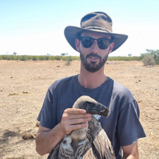
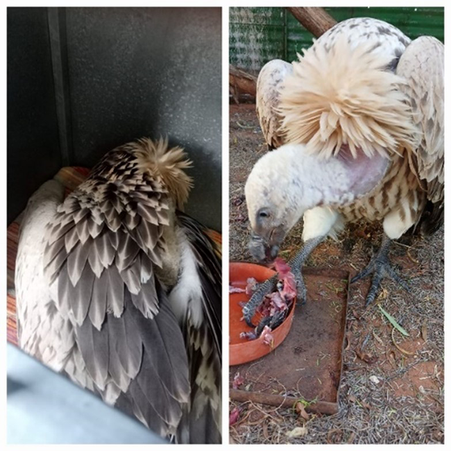
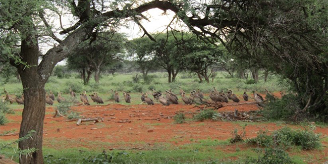
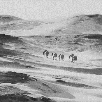
Birds of prey face unique conservation challenges, primarily due to their ability to traverse vast distances unhindered by physical barriers. This lack of confinement poses significant obstacles to traditional conservation methods. For instance, species like the White-backed Vulture and Cape Vultures routinely cover extensive distances, ranging from 80km to over 500km per day while foraging.
As a result, effective bird conservation heavily relies on technological advancements to comprehend species threats and implement appropriate conservation strategies. Vultures, for example, confront various hazards such as wildlife poisoning, power line collisions, and disturbance to nesting sites, all of which impact population numbers and breeding success.
The Endangered Wildlife Trust’s (EWT) Birds of Prey Programme has long utilised GPS tracking technology to establish a robust conservation framework for these species. These lightweight, solar-powered tracking units transmit precise location and movement data via cellular or satellite networks, offering unprecedented insights into the spatial biology of a diverse array of species. These data serve as a foundation for strategic conservation planning across expansive geographic regions.
Moreover, GPS technology enables researchers to concentrate efforts on critical areas for species survival. The EWT’s initiative to establish raptor safe zones, for instance, strategically targets properties frequented by birds for foraging and nesting, guided by behavioural data to mitigate human-induced threats effectively.
Fortunately, avian tracking technology continues to advance rapidly. Future developments hold promise for increased affordability, potentially revolutionizing data collection and enhancing the effectiveness of current conservation practices.”
eDNA
Most recently, the EWT has led the pack in the development and use of environmental DNA (eDNA) in terrestrial systems, which led to the rediscovery of the elusive De Winton’s golden mole – a species previously thought extinct.
With the help of this technology, the EWT team was able to detect and effectively rediscover the Critically Endangered De Winton’s golden mole (Cryptochloris wintoni) on the west coast of South Africa. This species had been lost to science for over 80 years.
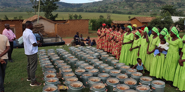
Because detection and distribution mapping of elusive species is one of the major challenges of biodiversity surveys, the EWT’s Drylands Conservation Programme (DCP) has been working on eDNA sampling techniques to detect the presence of elusive and/or threatened terrestrial vertebrates.
Environmental DNA (eDNA) is genetic material that is shed by organisms into their environment, typically in the form of skin cells, hair or excretions, and may be sampled from environmental sources such as water, soil, or sediments. Isolation of this DNA from the environment can facilitate detection of organisms in the absence of obvious signs of their presence, and provide genetic information that can be used to identify, study and/or monitor species across time and space without having to catch, handle, or in some cases, even observe them.
The Drylands Conservation Programme used this technology to survey a range of elusive golden mole species across South Africa’s west coast, collecting soil from the linings of their subterranean burrows, and using genetic barcode markers to identify species. Through mapping species distributions, it facilitates conservation management of threatened species.
The EWT’s scientists are now also applying the eDNA approach in the detection of Endangered Riverine Rabbits, and threatened tortoises in the arid Karoo region of South Africa. For Riverine Rabbits, eDNA is collected from pellets (droppings) gathered in the field, rather than soil.
The application of eDNA has the potential to revolutionize conservation science and practice. Although there are many challenges associated with using this approach in broad biodiversity surveys or monitoring projects, with careful consideration of the challenges and potential limitations, the application of this technique can open many doors to answering research questions and finding new solutions to conservation challenges, including assessing potential impacts as a result of proposed developments in sensitive areas.
Through the use of technology, scientists are able to ensure that species being researched and surveyed are largely undisturbed. It could also contribute to a greater base of information about species in remote areas informing conservation planning and practice.
** World Wildlife Day is celebrated annually on 3 March. The theme for 2024 was People and Planet: Exploring Digital Innovation in Wildlife Conservation.