SAVING LIVES WITH CAMERA TRAPS
Wendy Collinson, Manager, EWT Wildlife and Transport Programme
WendyC@ewt.org.za
The N3 Toll Concession (N3TC) started collecting records of animals killed on their roads in 2011, and as part of their ongoing safety programme began working with the EWT’ s Wildlife and Transport Programme (WTP) to address the concerns they had in this regard. Since 2014, the WTP has provided training to their staff responsible for patrolling the N3 route and dealing with safety hazards such as dead animals on the road, analysing the data they have collected to date with a view to implementing actions to reduce the number of animals killed on their route; and, providing quarterly reports with directions for future work.As a result of our partnership, we have identified roadkill hotspots through the production of a roadkill sensitivity map, as well as publishing national guidelines to minimise the impacts of roads on wildlife. Of almost 2,500 roadkill data points received from N3TC, we have identified sections of the route where roadkill reports are highest and generated maps to highlight this.
From the roadkill hotspot sections of the route, we undertook site visits to assess areas where mitigation could take place through looking at existing road structures to determine how they benefit wildlife. We identified sites to deploy cameras rotated between different culverts / tunnels under the N3 in 2019, to determine which species occurred in the vicinity of, and which species actually used the crossing structures to move from one side of the road to the other.
Although these structures were mostly not built or erected for the express purpose of being wildlife passages, the hypothesis is that some structures will still fulfil this function. Currently there is little data available on the benefits of existing structures in South Africa that highlight areas where wildlife utilise crossings. Therefore, surveys will enable us to obtain a quick and cost-effective method of gaining a greater understanding of these benefits and propose appropriate recommendations to existing structures to address the threat of roads to wildlife. We have identified a number of species using these corridors, such as porcupine, mongoose and Serval. Based on data received from the camera traps, it is apparent that some species are definitely electing to use the structures beneath the road as safer options to cross the road, so we are now embarking on a project to actively direct animals towards the culverts under the road.
For small vertebrates (i.e. amphibians, reptiles and rabbit-size and smaller), low-level mesh fences have proven successful when added to the roadside verge to guide the individuals towards passages. Whilst this method is unlikely to prevent animals larger than a rabbit from crossing a road, it may aid in preventing scavenging by the meso-carnivores as well as owls or other birds of prey, since much of their prey should be prevented from crossing the road by the fence and ‘forced’ to use the culverts instead. This ultimately not only saves wildlife from becoming roadkill but can save human lives through preventing collisions resulting in vehicle damage, injury or death to vehicle occupants.
Watch this space for more updates and thank you to the route patrollers on the N3TC, Bakwena and TRAC N4 routes who continue to work during this difficult period to keep those working in the essential services and having to use roads safe!
HIDE AND SEEK CHAMPIONS
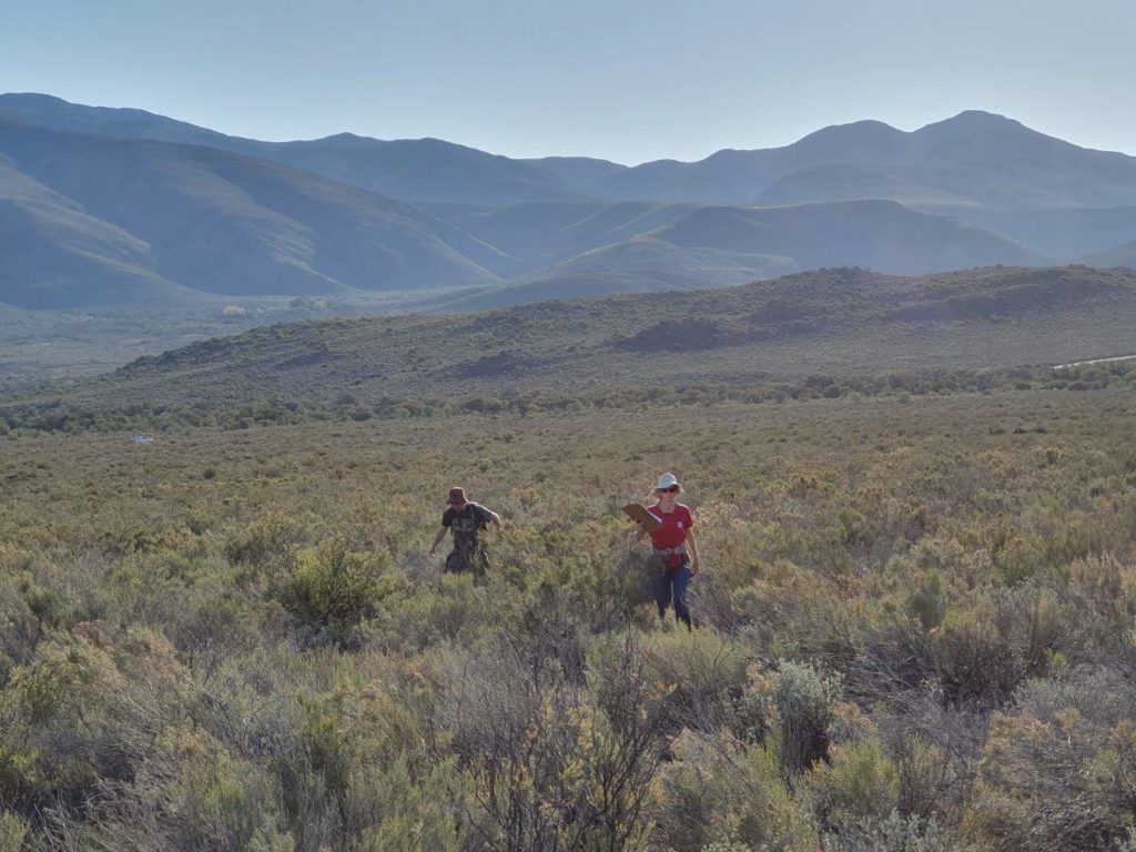
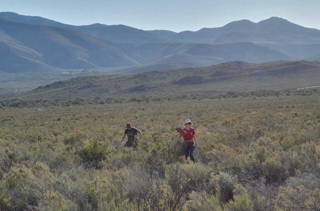
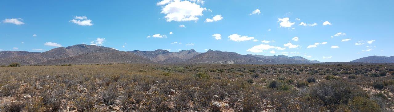
Cobus Theron, Manager, EWT Drylands Conservation ProgrammeThe Karoo is a vast and inspiring landscape. The extensive “rantjies” and “vlaktes” remind us that once there was a time when most of the earth was free of noise, pollution and human infrastructure. This seemingly harsh environment does however provide a home for many unique mammals, birds and reptiles. More often than not, the threatened and Endangered species of the Karoo are solitary, elusive and difficult to research and conserve.
The EWT’ s Drylands Conservation Programme (DCP) is committed to researching and conserving some of these ‘hide and seek champions.’ “Developing and exploring new techniques to find, locate and study some of our target species is one of the major drivers of our work, and makes what we do innovative, exciting and pioneering,” says Este Matthew, the DCP’ s Specialist Conservation Officer.
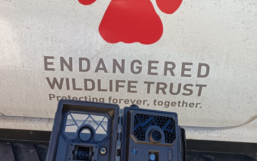
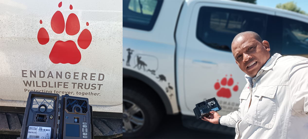
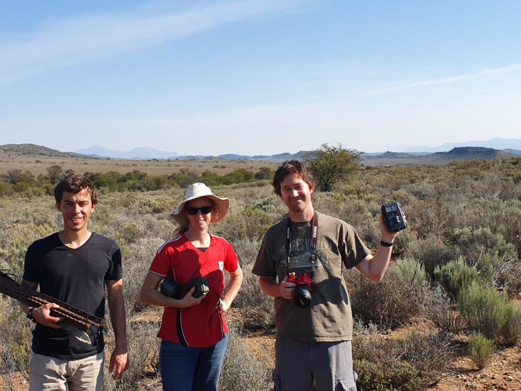
One of the most effective and reliable tools in the DCP’ s arsenal of approaches is the use of camera traps. When searching for the presence of elusive species such as the Riverine Rabbit, the DCP uses up to 40 cameras arranged in clusters of up to five cameras. Cameras are kept in position for at least 40 days. Setting up cameras can be hard work as cameras, batteries, Y standards and a big hammer are often carried long distances from the vehicle. The correct orientation and placement of the cameras is important.While cameras need to be set up facing south (to avoid morning and evening glare from the sun), knowing where to place them is even more importan.
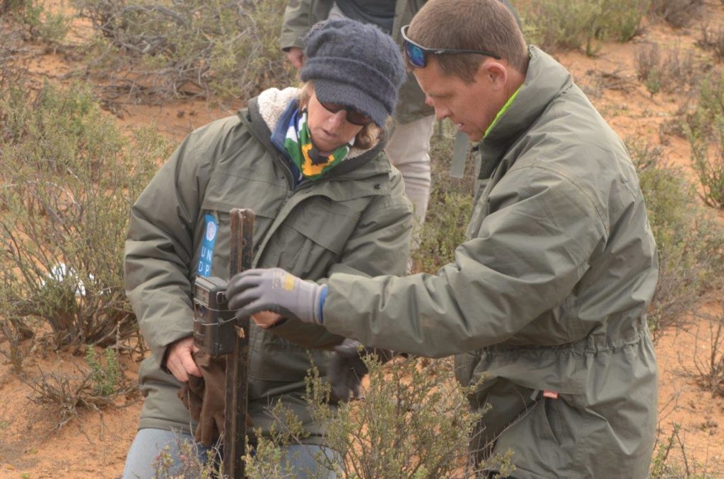
tFew people are better than our own Karoo expert, Bonnie Schumann, in placing these cameras in places most likely to capture secretive Karoo species. Observing Bonnie setting up cameras immediately reveals that science, observation and a highly focused intuition is key to Bonnie’ s unrivalled success in setting cameras for Riverine Rabbits.
While cameras need to be set up facing south (to avoid morning and evening glare from the sun), knowing where to place them is even more importantFew people are better than our own Karoo expert, Bonnie Schumann, in placing these cameras in places most likely to capture secretive Karoo species. Observing Bonnie setting up cameras immediately reveals that science, observation and a highly focused intuition is key to Bonnie’ s unrivalled success in setting cameras for Riverine Rabbits.
The cameras once again proved their worth In March 2019. After a reported Riverine Rabbit roadkill in the Baviaanskloof the DCP set out to determine if the roadkill was an unusual event or if in fact the western parts of the Baivaanskloof had an active Riverine Rabbit population.
Over the course of two days the team set 12 clusters of between three and four cameras each. Each cluster was more than a kilometre apart (significant enough that a single Rabbit would not trigger cameras in two clusters). All the clusters are planned on a map in advance and situated on private land with the permission of the owners. The cameras were then left for 50 days.
The team returned in May to collect the cameras and review the footage. Excitement was high as we were hopeful for positive results. Supper plans were postponed as memory cards were copied onto laptops and footage reviewed. All expectations were surpassed as more than eight of the 12 clusters had footage of Riverine Rabbits on them. Huge celebrations followed as the team confirmed a brand new population in a new geographic area for the Riverine Rabbit .
Collecting images is however only the first step in using camera trap data. Due to the fact that cameras are triggered by movement, each camera may take hundreds of pictures, often including wind or sheep triggered pictures. Sorting these pictures can be very time consuming. The EWT is currently collaborating with the Liverpool University John Moores to develop a machine learning programme capable of identifying and sorting pictures according to species. Once this machine learning software is perfected, we hope to get to a point where individuals of a species like Riverine Rabbits can be uniquely identified.
Camera trap information can also be used to calculate the density and area of occupation of species. Due to the additional information captured by the cameras – date, time, temperature; it is also possible to develop a better understanding of the activity patterns of certain species.
WATER UNDER THE BRIDGE?
Innocent Buthelezi, Field Officer, EWT Wildlife and Transport Programme
InnocentB@ewt.org.zaWe live in an incredibly complicated and interconnected world. Transportation networks stretching across land, sea and air, and other linear infrastructure (such as power lines, canals, pipelines and fences) extend across large swathes of the globe. These are a visible representation of how cultures use the landscape, enabling us to travel and share goods and ideas. In addition to providing access to remote areas, networks of roads, highways, railways and utility lines have a variety of, both positive and negative impacts on natural systems that range both spatially and over time.
Traffic, particularly when reckless driving is involved, can have a direct negative impact on wildlife, with many species at risk from wildlife-vehicle-collisions, often resulting in an animal’ s death, or ‘roadkill’ . The ongoing collection and submission of data by road users and road management agencies is making a substantial contribution to our understanding of these negative impacts particularly on specific species, habitats and road sections.
The EWT’ s Wildlife and Transport Programme (WTP) works with toll concessionaire companies such as Bakwena N4N1, TracN4 and N3TC, through training their route patrollers to gather roadkill data. The database we hold with N3TC is substantial, and we are starting to identify species and sections of the route where there is most, and least, roadkill.
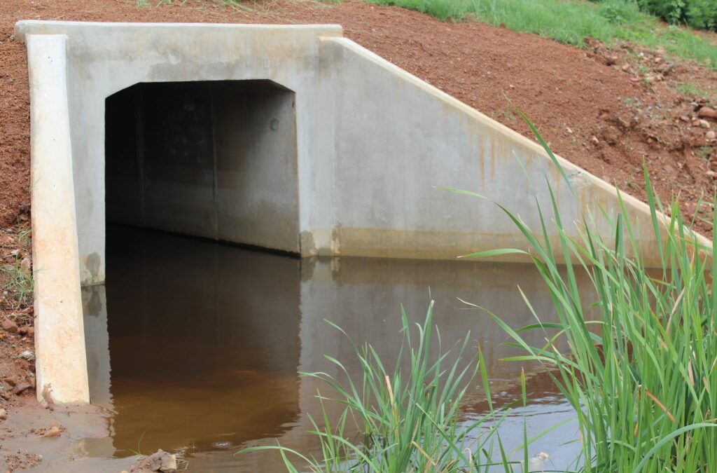
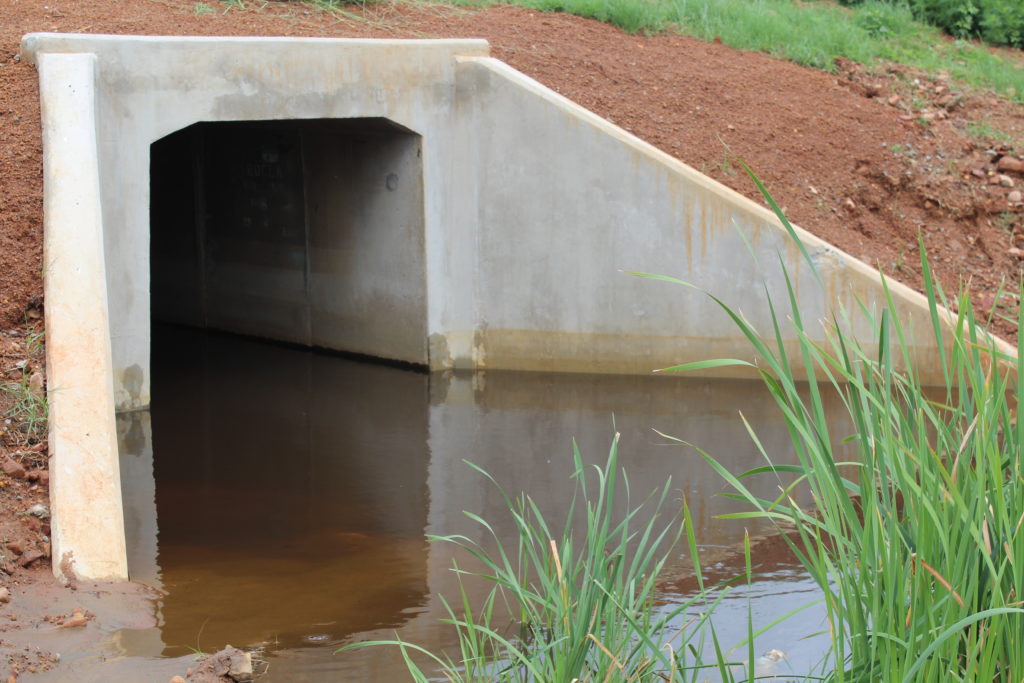
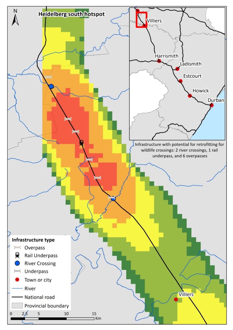
Reports from sections 9, 10 and 11, between Heidelberg and Villiers, have consistently shown high levels of animal road mortality since 2014, and consequently, have been identified as a potential roadkill hotspot (Figure 1). It is logical, then, to assume that animals are unsuccessfully attempting to cross the highway; however, evidence from site visits in 2017, demonstrates that some animals are utilising existing structures such as culverts and underpasses to successfully cross beneath the road.
These structures were mostly not built or erected for the express purpose of being wildlife passages, but the thinking is that some structures will still fulfil this function. Currently there are little data available on the benefits of existing structures in South Africa that highlight areas where wildlife utilises crossings. Therefore, surveys offer a quick and cost-effective method of gaining a greater understanding of these benefits and proposing appropriate recommendations to existing structures to address the threat of roads to wildlife.
We are in the process of using camera traps to determine what species (if any), are using the culverts and underpasses. The structures were selected based on a site visit undertaken in August 2017, on Section 10 (Villiers) of the N3 highway. The aim of this project is to conduct a survey of existing road structures and determine how they benefit wildlife. In consultation with N3TC, the EWT proposed to install six cameras rotated between 10 different culverts / tunnels under the N3 to determine which species occurred in the vicinity of, and which species actually used, the crossing structures to move from one side of the road to the other.
To allow comparison between the sites, the structure-type was standardised (in this case, large underpasses) as was the fence-type adjacent to the structure (a livestock fence on both sides of the road). Adjacent habitat types and/or land use was variable, for example, wetland, agriculture, and grassland, which will allow an assessment of why animals may prefer one underpass over another. Six of these structures were single passages, with the remaining four being double passages .
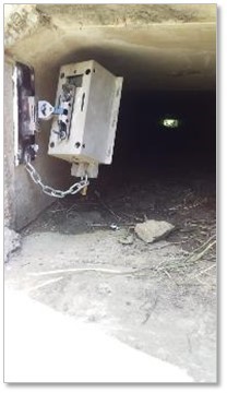
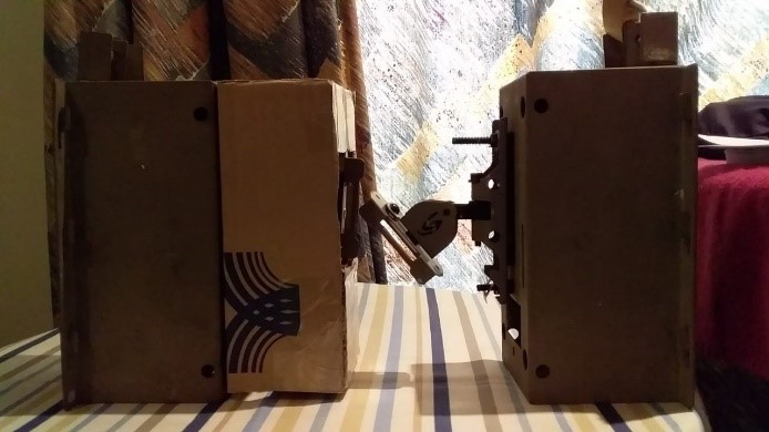
One camera was placed at one end of the structure, attached to the sidewall through the use of solid bond adhesive, approximately 4 metres above the ground, on a pivotal arm. This enabled the camera to be angled down towards the ground, as well as in line with animal movement. The cameras were further encased in a padlocked steel box which was attached to the pivotal arm by a metal chain. The installation of cameras is a first for the country and will guide mitigation measures in 2020.
The six cameras were deployed from 21 February this year and have been getting some fantastic data. The data were analysed up to 27 April, although the cameras were deployed until 27 May, before some of the cameras were sadly stolen, and we had to remove the rest to prevent further theft.
A total of 109 observations was captured on the camera traps between 21 February-27 April 2019. The majority of these were mammals, followed by birds, and reptiles. It should be noted that the bird was a Helmeted Guineafowl, and typically terrestrial, residing in flocks during the non-breeding period, whilst a lizard species was unidentified.
Of the 106 mammals, seven species were identified, with Cape Porcupine being the most common, followed by unidentified rodents (i.e. mice). Three species of mongoose were identified (Water, Large Grey, and Slender).
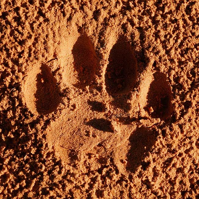
One observation of a Serval was detected, which is very exciting given the large number of Serval road mortalities in the N3 database. If Serval are naturally opting to use the structures, how many of them are utilising them successfully, and why are some electing to still cross the highway?
N3TC and the EWT have decided to discuss redeployment and measures to reduce future theft. To counter the theft of further cameras, WTP’ s Field Officer, Innocent Buthelezi came up with a plan to make the cameras theft-proof and had to raid his dad’ s workshop to modify the four remaining cameras. Innocent’ s new design (the ‘ButheBox’ ) started as cardboard to build a template for the casing. The final design of the ‘ButheBox’ has three padlocks attached the box, which will hopefully make it more difficult to access.