Uncovering Hidden Biodiversity in Northern Malawi
Uncovering Hidden Biodiversity in Northern Malawi
By Dr Samantha Theron, EWT conservation researcher
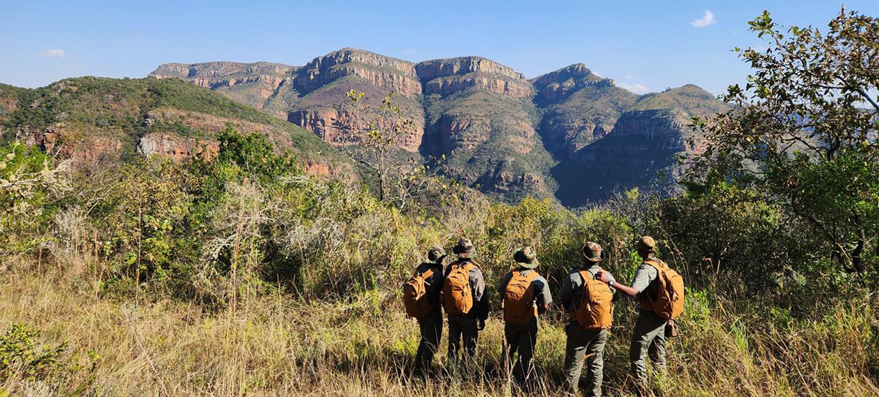
Deep in the heart of Africa, situated between two major faults of the African Rift Valley – Lake Malawi and the Luangwa Valley – lies the Nyika Plateau. This is the largest montane complex in south-central Africa.
The plateau, along with its surrounding escarpments and hills, comprises the 3,134 km² Nyika National Park (NNP), a protected area that is not only a sanctuary for diverse fauna and flora, but which also plays a vital role in safeguarding some of the most significant water catchment areas in northern Malawi. The name “Nyika,” means “where the water comes from,” and reflects its importance as one of Malawi’ s key water catchment areas.
Several rivers, including the North Rumphi, Chilinda, Runyina, and North Rukuru, originate on the Nyika Plateau and ultimately flow into Lake Malawi. To the southwest lies the 986 km² Vwaza Marsh Wildlife Reserve. Water from the Hewe River, which originates in Nyika National Park, creates a marsh in the northern part of the reserve. Together with Nyika National Park in Zambia, these protected areas form part of the Malawi-Zambia Transfrontier Conservation Area.
Since a 20-year co-management agreement was signed between Malawi’ s Ministry of Tourism and Peace Parks Foundation in 2023, efforts have focused on managing Nyika and Vwaza as a connected landscape. Understanding the biodiversity within these areas is an important part of effective conservation planning. It is in this context that the Endangered Wildlife Trust (EWT) was recently approached to conduct an environmental DNA (eDNA)-based vertebrate biodiversity assessment of Nyika.
Finding traces of wildlife through eDNA
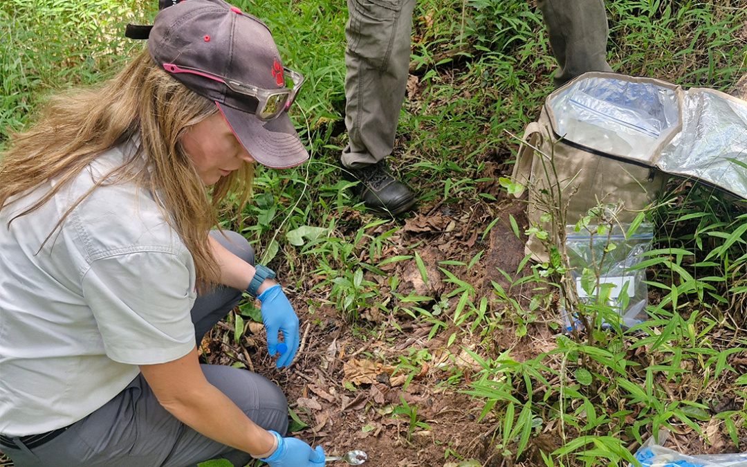
Environmental DNA (eDNA) is genetic material that animals leave behind in their surroundings. This includes skin cells, hair, faeces and other biological material. By analysing environment samples from, for instance, water, soil and sediment, scientists are able to determine which species are present.
However, eDNA also has limitations. Species identification depends heavily on genetic reference databases such as GenBank and BOLD, and many species from remote and under-sampled regions are not yet represented in these databases. As a result, some DNA sequences can only be identified to a broader group, such as a genus or family.
This is particularly important in regions where cryptic species may occur. Animals that appear identical may be genetically different, meaning conventional surveys can underestimate biodiversity.
From the plateau to the laboratory
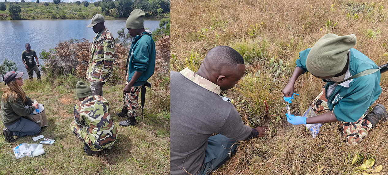
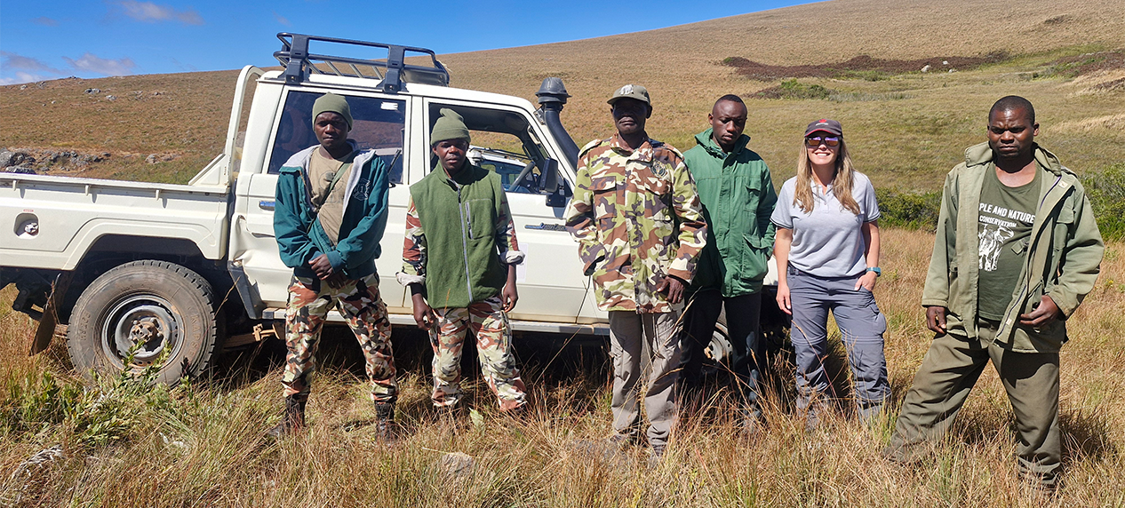
The Nyika assessment involved 10 sampling sites selected to represent ecologically important habitats and key points within the park’ s water systems. Fieldwork began with training Nyika staff and rangers in water and soil sampling techniques.
At Lake Kaulime, participants learned how to collect water samples. Soil sampling was subsequently demonstrated in forest patches, where the rangers contributed their own knowledge of animal activity and visible trails to help identify suitable sampling locations.
The trained field team then collected samples from a range of environments, including wetlands, forests, waterfalls and river systems. Some of these locations required challenging hikes through dense vegetation and steep terrain.
The samples have subsequently been transported to the EWT laboratory in Stellenbosch. Here, we will isolate DNA, amplify genetic barcodes, sequence the DNA and compare the barcode sequences with existing reference databases to identify the species represented in the samples.
A baseline for future conservation
The project is intended to provide an initial baseline of vertebrate biodiversity in Nyika while testing the usefulness of eDNA as a biodiversity monitoring tool in the landscape.
The results could identify species that are difficult to detect through conventional surveys and highlight areas or taxonomic groups requiring further investigation. They may also reveal previously unrecognised genetic diversity and potentially point to species that are unknown to the park, or even to science.
Importantly, this first survey is not expected to provide a complete inventory of Nyika’ s biodiversity. Seasonal changes in animal activity can influence which species are detected, meaning repeated sampling across different habitats and times of year will be necessary to build a more comprehensive picture.
There is also an urgent need to expand genetic reference databases for species occurring in the region. As new reference barcodes are generated, the accuracy and value of this and future eDNA surveys will increase.
Environmental DNA is no longer a new scientific technique, it is gaining traction globally as an important tool for monitoring biodiversity. For Nyika, it may prove to be highly valuable in establishing the information needed to understand, monitor and ultimately protect one of Malawi’ s most important interconnected landscapes, its wildlife, its forests and, ultimately, the valuable water sources that give Nyika its name.
** This project is undertaken in collaboration with Peace Parks Foundation (PPF) and funded by the Deutsche Postcode Lotterie (DPL) (German Postcode Lottery).